AeroVironment unveils new navigation system for ‘Puma’ drones
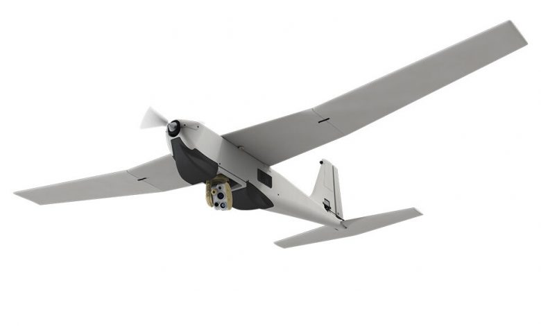
American defense manufacturer AeroVironment has introduced a new virtual navigation system for two of its “Puma” drones, giving operators an “unprecedented advantage” in GPS-contested environments.
Operators of the Puma 2 AE and 3 AE now have access to continuous software and hardware system updates of navigation capabilities, features, and functionality.
The next-generation navigation system features downward-looking sensors that collect imagery data and track features on the ground, allowing it to determine the aircraft’s precise location while it is in flight, AeroVironment said in a statement.
“Operators now can execute missions with more confidence in [a] GPS-contested environment with the system’s new navigational capabilities,” Vice President Trace Stevenson said.
A new functionality also allows the system to automatically transition to and from GPS-denied navigation mode without operator input.
AeroVironment’s Puma AE (All Environment) is a lightweight unmanned aircraft system delivering mission-critical intelligence, surveillance, and reconnaissance in all environments.
The 4.6-foot (1.4-meter) aircraft features aerodynamic, rounded edges to reduce wind drag and increase launch efficiency, particularly at high altitude and in hotter climates.
The multi-mission capable Puma 3 AE also features 2.5 hours of flight endurance for day, night, and low light operations.
