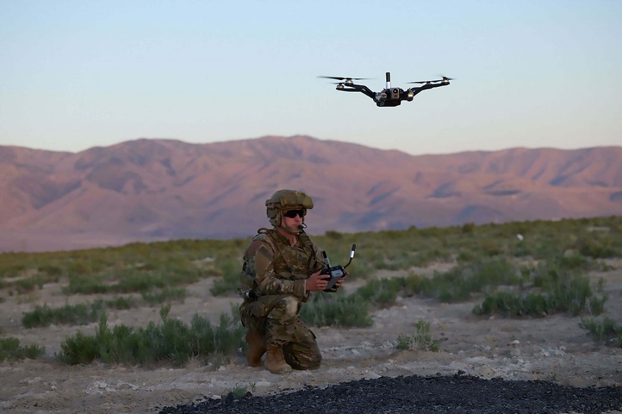
The US Army has begun production of the second batch of its Short-Range Reconnaissance (SRR) unmanned aircraft systems (UAS).
The initiative includes Teal Drones’ Black Widow system, which will equip the US Army’s Transformation in Contact units with modern, networked communications.
SRR systems “act as force multipliers, enabling precise fires, supporting ground operations with timely intelligence, and enhancing operational flexibility and agility,” the US Army stated.
The first SRR tranche was fielded in September 2022, with more than 16 brigades now operational.
Lessons from the first deployment shaped tranche two, with future batches set to integrate new technologies and accelerate UAS performance improvements on a faster timeline.
“The army’s investment in SRR systems underscores its commitment to advanced technologies that improve combat effectiveness and protect soldiers in increasingly complex operational environments,” the army added.
SRR Systems
The initiative is part of the US Army’s Transformation in Contactprogram, which is designed to coordinate personnel, tactics, and equipment for advanced combat operations.
SRR systems support this goal with sophisticated sensors that integrate with uncrewed vehicle control systems and the Android Tactical Assault Kit, providing real-time coordination and situational awareness.
They also enhance soldier safety by detecting threats, mapping safe routes, and reducing exposure to hazards.
Black Widow
Teal Drones’ Black Widow is a lightweight, unmanned aircraft, weighing 1.6 kilograms (3.6 pounds).
It can fly for over 35 minutes and has a range of up to 8 kilometers (5 miles).
The drone carries advanced sensors that capture high-resolution electro-optical and infrared images using the integrated Hadron 640R+ system from Teledyne FLIR.
Additionally, the Black Widow is equipped with the Doodle Hex-Band radio, which helps resist electronic interference.
The system also includes FLIR’s Prism AI software and Reveal Farsight 3D mapping tools, allowing operators to create real-time intelligence and detailed maps.